The Archaeology of the Burren
INTRODUCTION
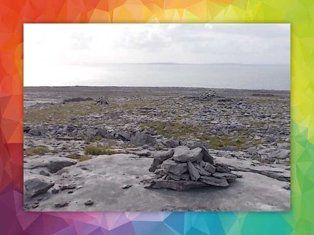
The Burren region of 350 square kilometres is home to more than 2,000 recorded
monuments.It is one of Ireland’s richest archaeological landscapes. “The Burren is a vast memorial to bygone cultures” are the words of the great
landscape writer and mapmaker Tim Robinson (1999). The easy availability of stone and its
durability as a building material help to explain the dense concentration of
monuments.... as does the millennia of"sympathetic", low-impact farming.
Bibliography
Robinson, T. (1999). The Burren ; a two-inch map of the uplands of north-west
Clare.
Folding Landscapes.
MESOLITHIC 7000-4000 BC
Two shell midden (dump) sites near
Fanore beach were excavated in recent years by archaeologists Michael and Clodagh Lynch of
Killinaboy. Findings included hunter-gatherer stone tools and shell beads.
These finds have been dated to the Mesolithic (Middle Stone Age) period. The
finds are in fact the first evidence ever of pre-farming civilisation in County
Clare. This hunter-gatherer period ended with the arrival of farming in to
Ireland in the Neolithic (New Stone Age) period.
NEOLITHIC 4000-2000 BC
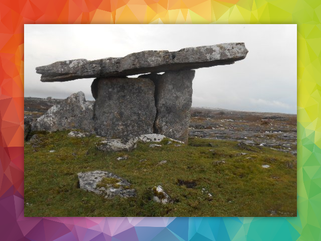
One
of the foremost icons of Neolithic Ireland is the Poulnabrone portal tomb. The
bones of the interred date from 3,800 to 3,200 years BC. Poulnabrone is the oldest dated neolithic tomb in Ireland. It was
constructed by pioneer farming communities in the Burren. Poulnabrone is the
most visited site in region, attracting around 200,000 visitors each year (Duffy 4, 2016).
The popularity of the site is proof of the importance of archaeology to the
region’s tourism industry.
Bibliography
Duffy T. (2016). Discussion of options for sanitary solutions for visitors to the Poulnabrone Dolmen,
Co.Clare
. Burren Cliffs of Moher Geopark.
BRONZE AGE 2000-600 BC
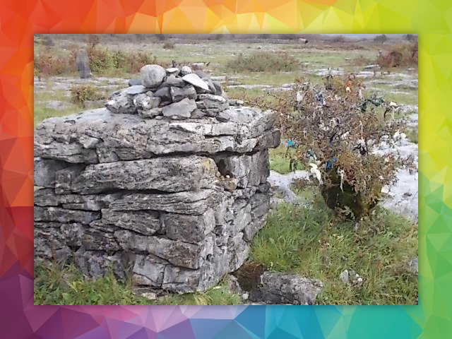
The cult of death changed in the Bronze
Age from communal to individual burial. Hundreds of cist (box) graves in the Burren
date from this period. Many of them are covered by cairns which are large
mounds of loose stones. The Poulawack cairn enjoys a spectacular elevation
position south-west of Poulabrone. On excavation, burials were dated from both the Neolithic and the Bronze Age (Jones 2004, 33).
The other widespread evidence of Bronze Age mankind in the region is the fulachta fiadh (cooking pit of the deer or the wild one). The monuments are known as burnt mounds in the U.K. and U.S.A. The mounds were water stations where the water was boiled by hot rock. The fragmented rock was subsequently discarded around the station forming a distinctive, crescent-shaped mound. The boiling water was used by the Bronze Age farming communities for a myriad of purposes. There are hundreds of fulacht fiadh in the Burren.
Bibliography
Jones C. (2004). The Burren and the Aran Islands Exploring the Archaeology.
The Collins Press.
IRON AGE 600 BC-400 AD
Farming in The Burren, and Ireland in
general, seems to have undergone a mysterious lull during the Iron Age as the
forest re-established itself. Only a small amount of archaeological sites in
the region have so far been dated to this period.

EARLY MEDIEVAL 400-1169 AD
The successive Early Medieval period
was distinguished by very prosperous times economically with a huge upsurge in
agricultural activity. 30 church sites from this period have been identified in
North Clare (Sheehan 1986, 46). North Clare broadly corresponds to the Burren
region.
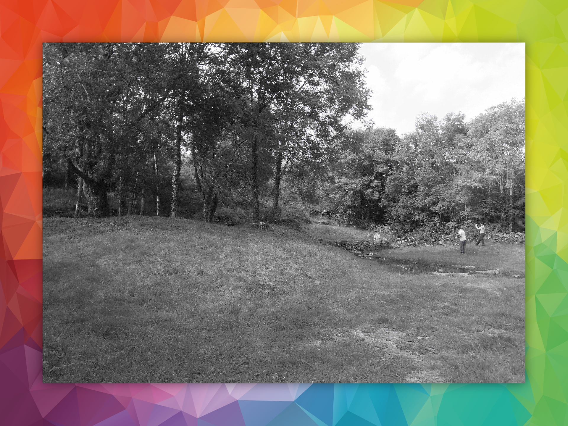
My
own favourite is St Colman’s, the only hermitage in the region. The site is set
in sublime mature woodland at the base of the steepest cliff in the region. It
is the only monastic site in the Burren located in the stony, “penitential”
uplands. All of the other Early Medieval monastic sites are situated in the
valleys with their thick cover of fertile glacial deposits over bedrock.
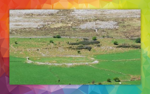
The political equivalent of the monastic site in this period was the ring fort. The forts were fortified farmsteads of the farming élite. This hierarchy was the great patrons of the monasteries. There are about 500 ring forts in the Burren (Dunford 2002, 17).
Holy wells were probably a pagan introduction to Ireland from Roman Britain, a cultural overspill. However, the Early Medieval monks seem to have readily incorporated this pre-Christian water cult in to Christianity. I estimate that there are about 50 holy wells recorded on Tim Robinson’s Burren map.
Bibliography
Sheehan J. (1982). The Early-Historic Church Sites of North Clare. North Munster
Antiquarian Journal
Volume 24 03. Thomond Archaeological and History
Society.
Dunford B. (2002). Farming and the
Burren.
Teagasc.
MEDIEVAL 1169-16th CENTURY AD…AND
ONWARDS
The idiosyncratic Early Medieval Irish
take on Christianity concluded in the 1100s at the start of the Medieval
period. Parish churches of the incoming “experienced multi-nationals” (Mc Mahon
2013, 56) like the Augustinians, sprouted up as well as expansive new abbeys.
Arguably the most spectacular antiquity in the Burren region is Corcomroe Abbey
in Bell Harbour – a 13th century Cistercian construction in origin.
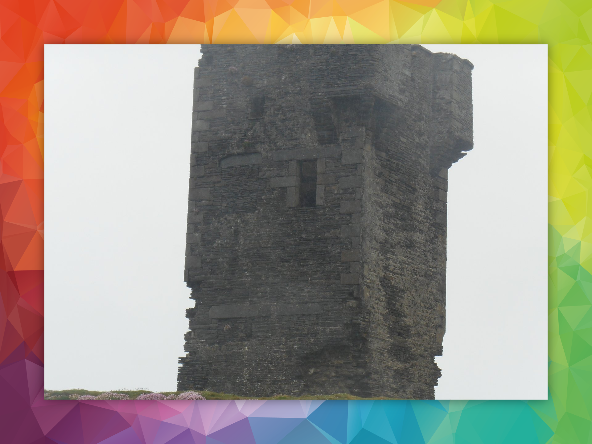
The farming élite gradually changed abode type from ring forts to tall slender stone buildings called tower houses. There are over 20 of them in the Burren. The name “tower house” explains their twin function of defence and dwelling. One of the finest 17th century residences in the west of Ireland was Leamaneh Castle, a gentleman’s mansion which is in fact built on to a 15th century tower house – both located at a critical southern entry point to the Burren in the past.
Bibliography
Mc Mahon M. (2013). The Parish of Corofin
A Historical Profile
. Michael Mc Mahon.
THE WIDER CULTURAL LANDSCAPE
The
Burren otherwise features a very dense concentration of stone structures which are not classified as archaeological monuments. Nevertheless, these structures are themselves also culturally very
significant in our attempts to understand the past. Such structures include the
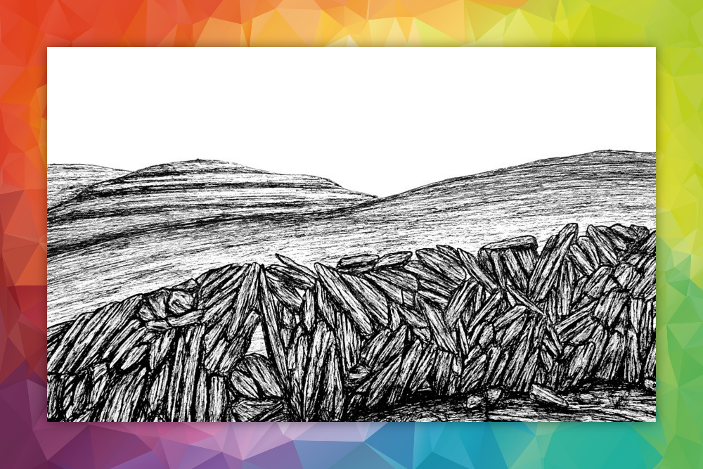
thousands of kilometres of dry stone walls, pre-Famine peasant dwellings, thuiles
(fuel-drying stone constructions), crós
(kid goat stone pens), mass rocks, penitential stations and much, much more.
“Human endeavour transforms the natural world to form the cultural landscape”. (Aalen F.H.A. 1997, 4). The Burren in County Clare is one of Ireland’s richest cultural landscapes.
BibliographyAalen F.H.A. (1997). Atlas of the Irish Rural Landscape . Editors F.H.A. Aalen, Kevin Whelan, Matthew Stout. Cork University Press.