Cruach an tSláin
INTRODUCTION
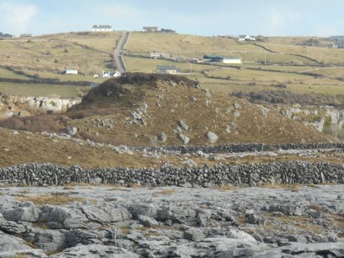
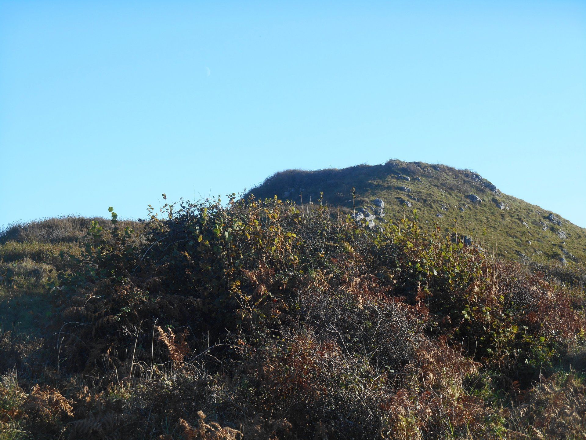
It was Peter Curtin, the extravagant Lisdoonvarna publican, who first drew my attention to a curious looking mound in the townland of Oughtdara in the south-west of the Burren. The landmark is about 1.5 km east of the coastline at Ballyryan.
Peter is the founder of the Burren Tolkien Society and the annual Burren Tolkien Festival. He maintains that J.R.R. Tolkien's masterpiece The Lord of the Rings
may have been inspired in part by the Burren landscape. Peter reasonably considers Cruach An tSláin
to be a Tolkienesque-like feature in the landscape.
CRUACH AN tSLÁIN
The Gaelic placename Cruach an tSláin
has been phonetically anglicised to the meaningless Croghateeaun. However, the literal translation is Safe Mound. The landmark is so named as there is a stone fortress built on top of it. Some of the stones survive in situ and some have been displaced to the slopes of the mound.
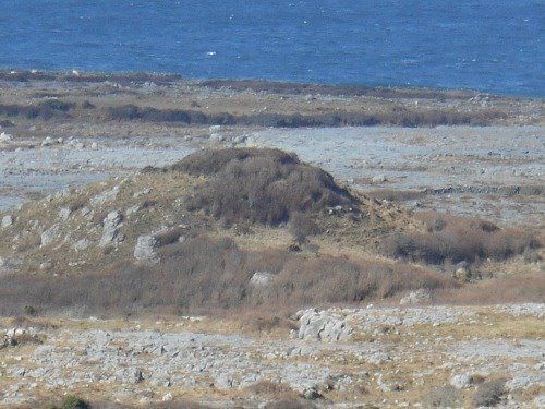
Cruach an tSláin
escaped the glaciation all around it and thus protrudes dramatically. The venerable Meath
geologist, Robbie Meehan, tells me that the scientific community is still
unable to explain why outcrops like
Cruach escaped the glacial erosion of their hinterland.
The natural attribute of the Cruach was maximised in the past for political purposes by an élite. Apart from the fort remnants, there is also evidence of a path on the
slopes which was probably part of the fort complex. The great antiquarian , T.J. Westropp (1860-1922), states that the monument was built in prehistory. Very little has been written of the Cruach since Westropp's account in his record of Burren monuments compiled between 1896 and 1916.
The views from the top are sumptuous taking in Galway Bay, the Aran Islands and Connemara.
Even though some of the blackthorn on the mound appears to have been cut recently by conservationists, its advance is pretty relentless and it will may eventually occlude the monument from future generations.
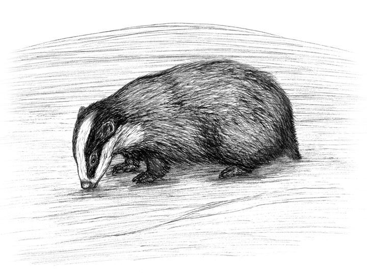
Whilst the scientific community is unable to resolve the puzzle of the resistance of limestone outcrops to glacial erosion, our not so distant ancestors were not shy at all in using their imagination to make some sense of these mounds. Westropp was told by locals how a bunch of badger hunters repaired to the fort one evening for a bout of inebriated revelry. They were "overtaken by night" and were terrified by the sight on the mound of "a whole fleet" of fairies. The group promptly abandoned the Cruach in "sobered terror". Thus in the past Cruach an tSláin was regarded as a dangerous fairy fort.
CAISLEÁN GEARR, CARRAN
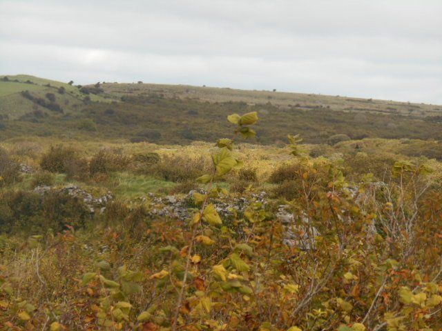
Another outstanding Burren example of a fort on a limestone outcrop is Caisleán Gearr at Tullycommon, south of the village of Carran. Westropp states that the fort is built on one of "two great natural domes of limestone". He colourfully likened the broken walls of the fortress to "the acropolis of some lost city"!
The monument is suffering a similar fate to the Cruach. It is being occluded by scrub. Moreover, due to partial collapse, a lot of the rampart stones have fallen on to the slopes of the outcrop.
THE ROCK OF CASHEL
The most famous fortified limestone outcrop in Ireland is the Rock of Cashel in County Tipperaery. The plateau is 200 feet above the surrounding plains. The Rock was the traditional seat of the Kings of Munster for several centuries prior to the 12th century Anglo-Norman invasion. In fact the secular Irish élite bestowed the rock to the church in that same century.
There are very few remnants surviving from the early fort. However, the Rock does host some important ecclesiastical structures including a round tower, a cathedral and the remarkable Romanesque chapel dedicated to St Cormac. The entire plateau is walled.
Legend has it that the devil took a bite out of a mountain (Devil's Bit/Bearnán Eile) about 40 km distant from Cashel. He broke his teeth in the process. A conspicuous gap in the mountain is known as the Devil's Bit. The Devil deposited the "bit" in Cashel and thus the Rock of Cashel was formed!
THE ROCK OF DUNAMAISE
An honourable mention must finally go to one other truly outstanding fort on a limestone outcrop and that is The Rock of Dunamaise (Dún Masc) in County Laois. The rock is 150 feet in height and affords lavish views on a clear day of large swathes of the low-lying centre of Ireland.
The local Gaelic élite, the O'Moores, built a fortress on the Rock in the 9th century. The Rock was a lively theatre of conflict in the past with Gaelic, Viking, Anglo-Norman and Cromwellians down the centuries. The Rock was heavily sought after for its elevation, the rich farmland in the vicinity and the nearness to an important artery route between the counties of Carlow and Laois.
Dunamaise was also an important part of folk belief in the locality in the past es evidenced by the tale recounted by Cary Meehen in her magisterial publication Sacred Ireland.
In
the Dunamaise folk tale, a treasure is buried under the mound. It is guarded by a ferocious dog called Bandog. His massive jaws spew flames when anyone gets too close to the treasure.
SUMMARY
Limestone outcrops are enigmatic features which have yet to be explained scientifically. They have a remarkable visual appearance....they are literally outstanding. When one factors in the layers of human history on top of the mounds, it is no wonder then that people in the past endowed them with folk tales. The fortified outcrops were regarded as compelling world/otherworld places. Scholastic discussion on them remains limited. If you do visit the Cruach, make sure it is in daylight hours!
Thanks to Robbie for the geological perspective and thanks to Peter for showing me the way. Míle buíochas
(A thousand thanks).
REFERENCES
Archaeology of the Burren and the Aran Islands
Prehistoric Forts and Dolmens
T.J. Westropp Claps Press 1999
The Traveller's Guide to Sacred Ireland
Cary Meehan Gothic Image Publications 2002
BADGER ILLUSTRATION
The line drawing of the badger is by Carles Casasin from Barcelona. Carles lives in Ballyvaughan. He is an excellent artist.


