The Last Pool of Darkness
Connemara is an extensive region of about 1100 square kilometres located west of Galway City.
Its southern confines are defined by Galway Bay. Its western limits are demarcated by the Atlantic whilst to the north the region peters out at Killary fjord.
The great writer and cartographer, Tim Robinson, has described the south Connemara coastline as “banal and overcrowded”. The same can not be said of the sparsely populated interior with its peat lands, lakes and two great mountain ranges, the Twelve Bens to the west and the Maam Turks to the east. Beautiful desolation.
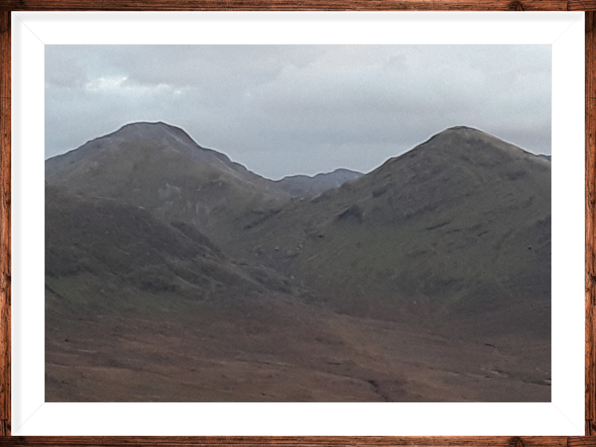
I detoured north to Connemara at the end of my own walking season for a bus man’s holiday in the “mini-Alps” of the Twelve Bens. My base was just outside the Quaker-commissioned village of Letterfrack in the north-western corner of the region. Three out of my four days were characterised by wondrous winter weather whereas day three was a “rain-out” though I hiked just the same.
I arrived just in time to make it up and down Diamond Hill (510m) before the dimming of day one. Diamond is conically-shaped like all the other mountains in the quartzite range of the Twelve Bens. It is located in the National Park and is the most trafficked mountain in Connemara. I only came across two souls during my hike. There is virtue sometimes in vacationing way off-peak.
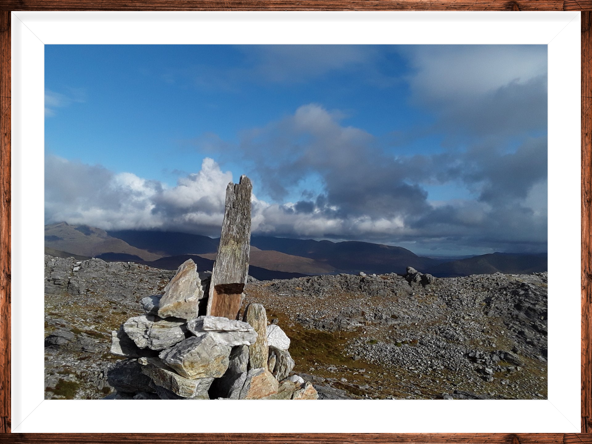
Niagaran volumes of rain came down on day two. I still managed to walk from and back to Rosroe Pier via the Salrock Pass. The views along the famine relief road of one of Ireland’s only fjords (Killary) are usually magnificent. However, visibility was poor during my hike. When I did glimpse Mweelrea (890m) across the fjord in County Mayo, it looked menacing. Mweelrea is the highest point in the province of Connaught.
Day three was a day from heaven. I took on a complex called Mweelin and followed the instructions in Paul Phelan’s Connemara walking guide to the letter. The hike involves scaling three peaks opposite Kylemore Abbey. The abbey is a Benedictine nunnery and a major tourist attraction in Connemara. The abbey looked like a piece of lego as I gazed down upon it from the peaks of Benbaun (477m), Benbrack (582m) and Knockbrack (442m). Lavish views were also on offer out west towards numerous Connemara islands, some inhabited and some long since disinhibited. Back east the Maam Turks protruded proudly in the winter sunlight.
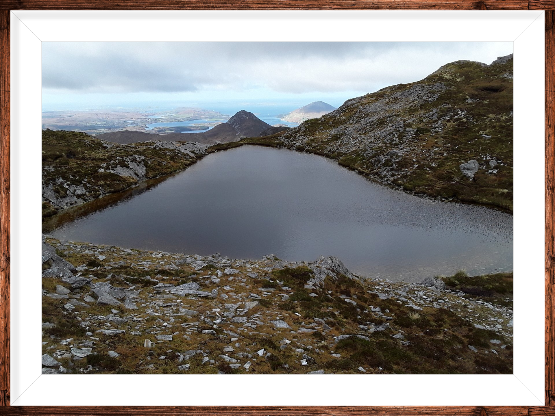
On day four, I finally met up with my fellow-walking tour guide, Paul Phelan. Paul is the author of the excellent publication Connemara & Mayo Mountain, Coastal and Island Walks A Walking Guide (The Collins Press 2011). We opted for Tully mountain (630m). The mountain and its hinterland are still defiantly known as Leitir (original Gaelic name) by the locals. It is very rich in archaeology – vernacular and monumental. Paul pointed out the Tully walk was one of the best in the region for “drinking in” the Atlantic seascape.
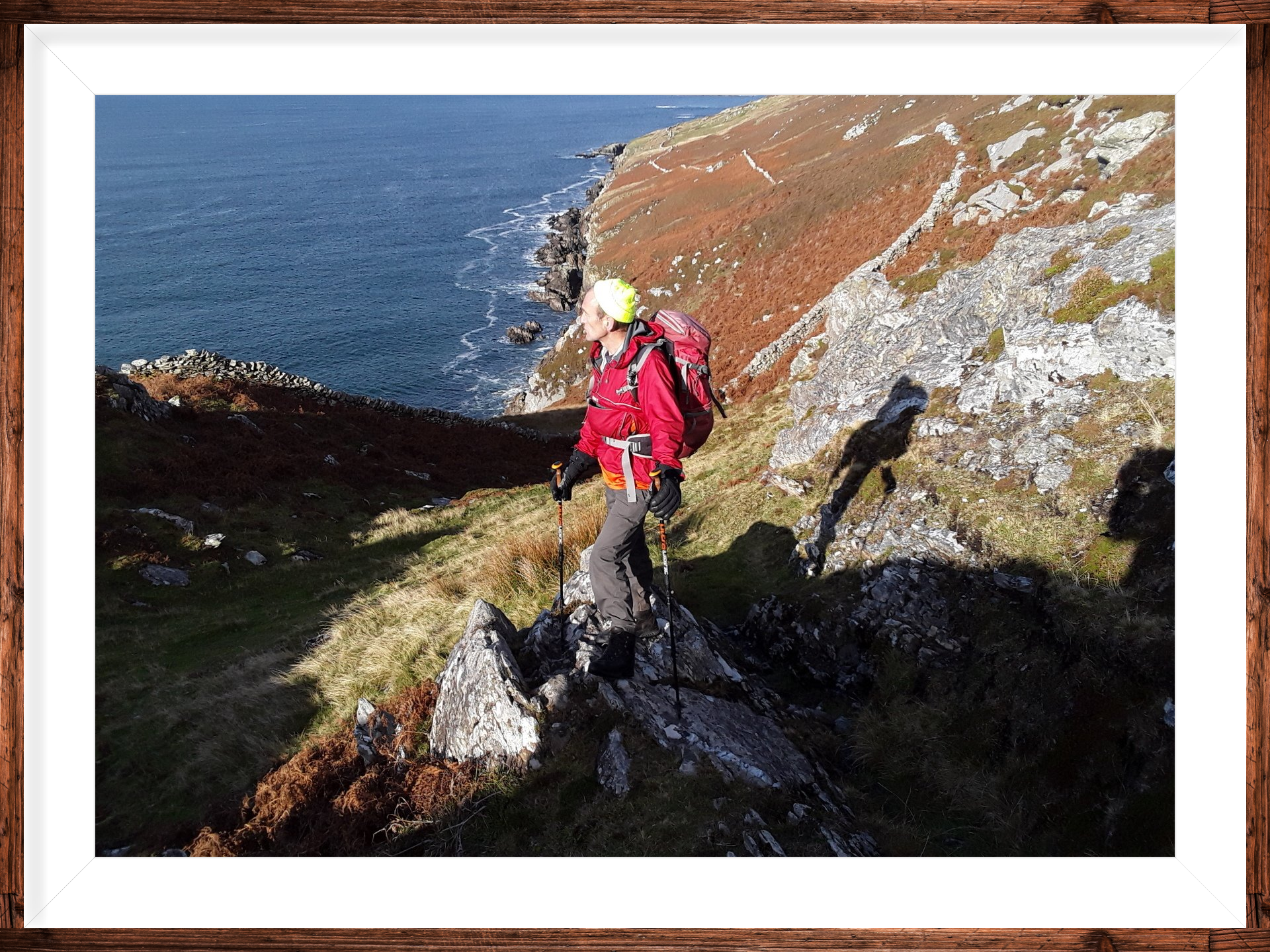
Wending homewards via Galway city, I concluded that the north-western corner of Connemara alone deserves at least a stay of a week if one is disposed to hiking and island-hopping. Beidh mé arais (I will return). Thanks to Paul for the company and maximum respect for the book!
POSTCRIPTS
1.I enjoyed a tea time pint in Veldon’s of Letterfrack almost every evening.
2.Tim Robinson’s astonishing trilogy of books on Connemara is published by Penguin. “Listening to the Wind”; “The Last Pool of Darkness” and “A Little Gaelic Kingdom”.
3.The place names in
English have all been anglicised from the Gaelic. Some of the original meanings
are as follows -
Connemara (Conamara) – the Conacme tribe of the sea.
Twelve Bens (Na Beanna Beola) - the peaks of Beola, an obscure god.
Maam Turks (Mám Tuirc)
- the boar’s pass.
Letterfrack (Leitir Fraic) - the woman’s hillside.
Diamond Hil (Binn Ghuaire) – the peak of Guaire, one-time King of Connaught.


